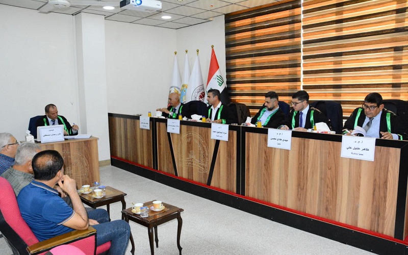
A master's thesis at the College of Agriculture discussed the use of geospatial techniques in monitoring drought in northern Iraq, by the student Alan Rahman Mustafa, under the supervision of Professor Dr. Dalshad Rasool Aziz, and Assistant Professor Dr. Zahir Khalil Ali.
The study aimed to test indicators derived from remote sensing data and climate indicators in monitoring drought in northeastern Iraq, and then classify drought in terms of type, size and degree of expected ban on low rainfall, and classify drought in the eastern region of Iraq in terms of its severity, duration and frequency in different areas of the region, based on the standard rain index SPl.
The study concluded that the annual rainfall is less in the southern and southwestern parts of the study area compared to the northern and northeastern parts. The results of the SPl6 index indicated that the study area witnessed various drought conditions in most stations, especially during the years 2005, 2008, 2009, 2010, 2013, 2017, 2021, and 2022, and that the Aridity lndex (Al) gave that the southern and southwestern parts of the study area are dry and semi-dry areas due to low rainfall and high temperature.


